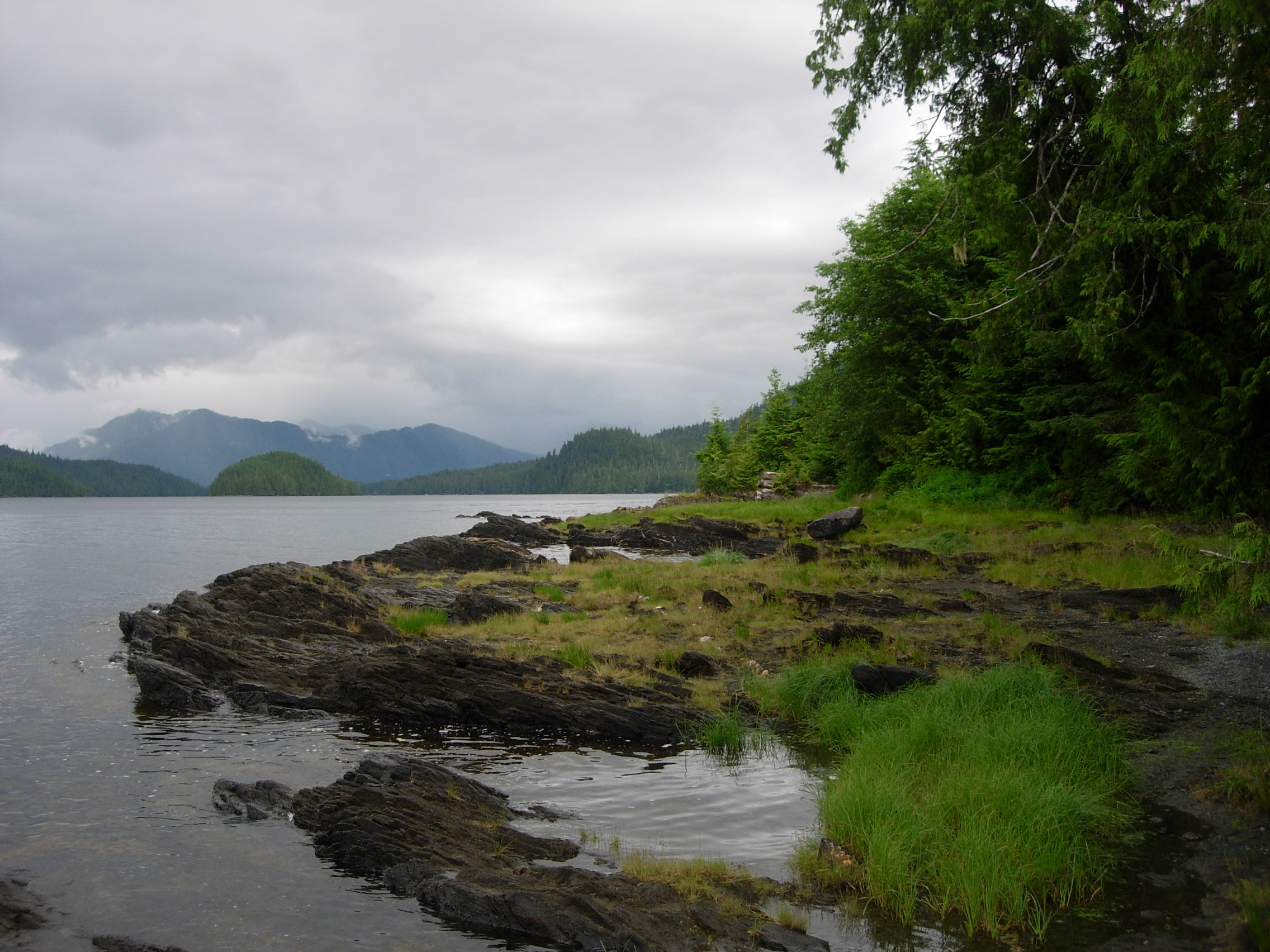
About Tongass National Forest
Tongass National Forest sprawls across 1.7 million acres in southeast Alaska, making it one of the largest national forests in the United States. The landscape encompasses temperate rainforest, alpine terrain, and coastal waterways, with access primarily by boat or floatplane due to minimal road infrastructure. Multiple-use public land managed by the Forest Service, Tongass supports fishing for salmon and steelhead, dispersed camping, and hunting throughout designated seasons. Backpacking and hiking opportunities exist on established trails, though route-finding and wilderness travel dominate the backcountry experience. Kayaking and canoeing are popular ways to explore the forest's water-based terrain and access remote areas.
Visiting Tongass requires genuine planning. Most recreation happens during the brief summer and early fall window when weather is milder and daylight is abundant. Winter brings heavy snow and cold at elevation, short daylight hours, and challenging conditions; spring and late fall are transitional seasons with variable weather. Access from communities like Ketchikan or Juneau is the practical entry point. Bring weather-resistant gear, understand tidal patterns if traveling by water, and check with the Forest Service for current trail conditions and any seasonal closures.
Campgrounds & Shelters
Plan Your Trip
Let Roamze help you plan the perfect adventure at Tongass National Forest.
Start Planning